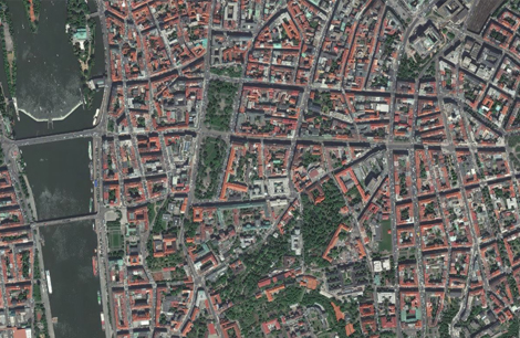
Orthorectification is the process of eliminating image distortions caused by terrain relief and camera perspective. This is achieved by modeling the nature and magnitude of geometric distortions present in the imagery. Using camera or satellite models along with minimal ground control data, correction formulas are developed to produce accurate, geometrically corrected, map-oriented images. Kothari Industrial Corporation Limited utilizes the Leica Photogrammetric Suite to generate high-quality orthoimages.
Geo AdithyA Technologies offers various options of terrain datasets for orthorectification. The choice of DTM used for this process depends upon customers accuracy requirements. Geo AdithyA Technologies offers orthorectification using following terrain sources
The company has extensive experience in providing data that has applications in the following areas:
- GE-1 DTM
- ALOS PRISM DTM
- STER DTM
- SRTM (Cheapest and most coarse option)
- Customer provided DTM
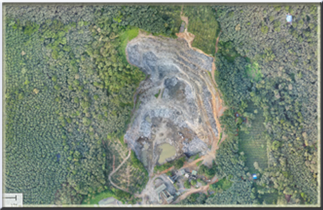
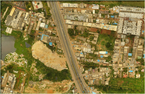
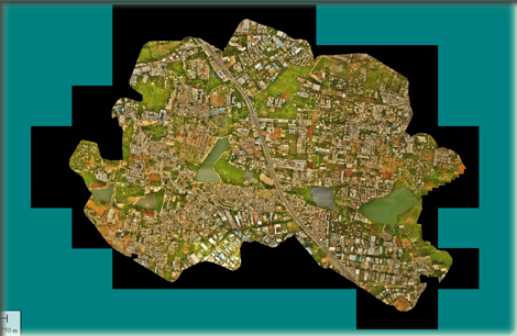
Orthorectification is also usually required if several images or scenes need to be mosaicked in order to ensure that the joins are seamless. For both rectification and orthorectification, accurate ground control is essential to produce geometrically accurate imagery. Geo AdithyA Technologies also provides options of Seamless mosaicking of large detests for a visually appealing image.
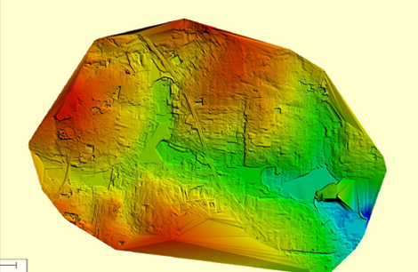
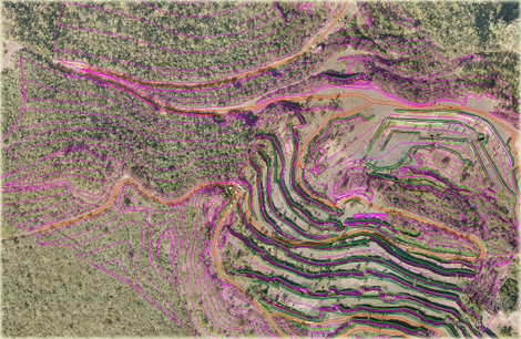
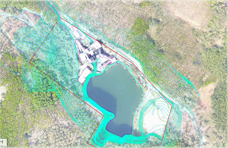
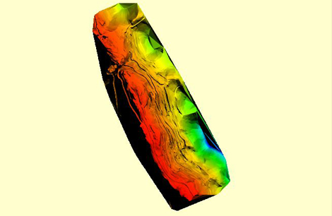
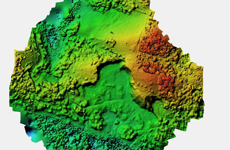
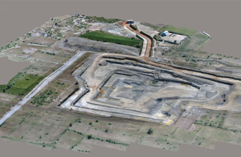
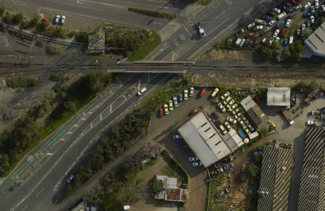
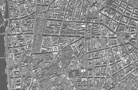
Related Images