Light Detection and Ranging
LiDAR is a remote sensing technology that measures distances by illuminating a target with laser light and analyzing the reflected signals. It operates similarly to sonar technology, which is used to detect objects underwater—commonly by fish or in marine navigation. Airplanes and helicopters are the most frequently used platforms for acquiring LiDAR data across large areas. Kothari Industrial Corporation Limited offers comprehensive, turn-key LiDAR image processing services, delivering accurate and efficient geospatial solutions.
Digital Orthophoto and various topographic mapping services including:
- Filtering of point clouds.
- Contour mapping.
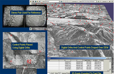
- Fusion with digital Orthophoto or hyperspectral imagery.
- 3D modeling and volumetric calculation.
- Break line collection.
- Flood plain mapping.
- Processing of transmission lines and other corridor surveys.
- Building extraction and reconstruction.
- Bare earth and non ground classification.
Related Images
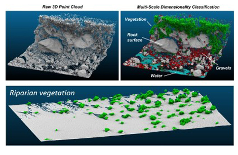
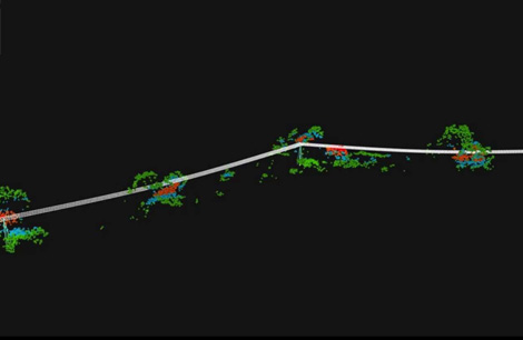
LiDAR Classification
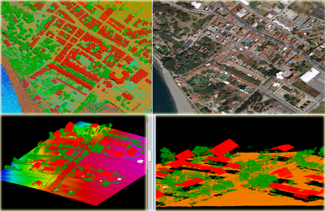
Building Classification
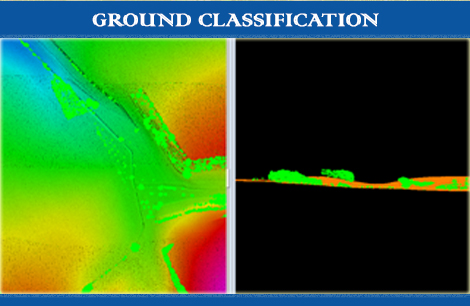
Ground Classification
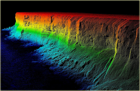
Cliff Ground Classification
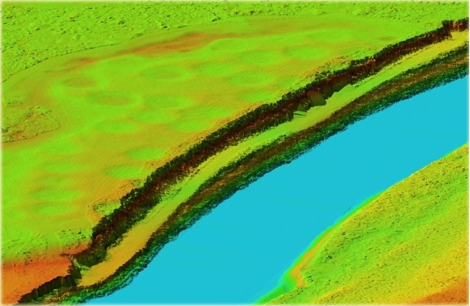
River Classification
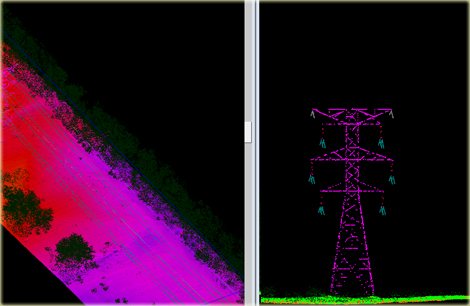
Power Line Classification
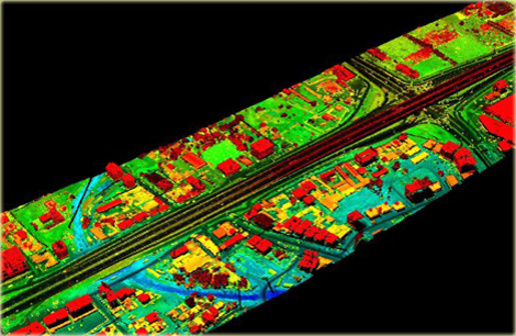
Road Classification
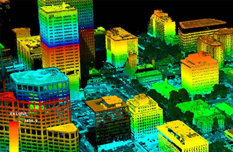
3D City LiDAR
Ortho LiDAR
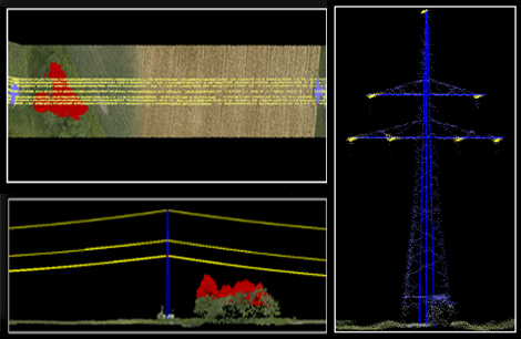
LiDAR PowerLine