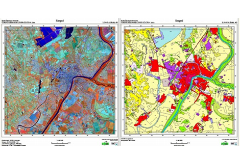
GIS Mapping & Data conversions
Kothari Industrial Corporation Limited offers comprehensive GIS Mapping Services and GIS Data Conversion Services. Our GIS solutions enable the visualization of geographic data, analysis of spatial relationships, and efficient data management. GIS data conversions integrate data from various sources into a unified format, ensuring seamless access, analysis, and application.
Using either paper-based or electronic data—captured by clients or collected independently—Kothari Industrial Corporation Limited performs GIS data conversions and creates accurate digital maps using advanced Geographic Information Systems (GIS) technology. While delivering GIS Mapping Services, we uphold the highest standards of quality, accuracy, and consistency to support informed decision-making.
Remote Sensing
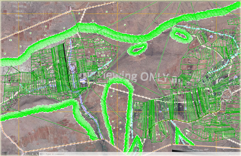
Some projects require the acquisition of information on objects and phenomena at a large scale. The physical survey in such a situation is not a viable option. Remote sensing is a technique that is time and cost effective and is therefore apt for such projects. GeoAdithyA Technologies offers remote sensing services to its clients worldwide. The services ensure accurate and cost-effective data collection which is an important input for planning and designing of mapping projects. GeoAdithyA Technologies expertise in remote sensing branches out to meet classification, image correction, image enhancement, image processing, and change detection services. These services are rendered as per the project’s requirements. Geo AdithyA Technologies offers remote sensing services by creating data to analyze and compare data of forestry, weather, vegetation, pollution, erosion, land use. The remote sensing services offered by GeoAdithyA Technologies can also be helpful for city planning, military observation, archaeological investigations and so on.
Geo AdithyA Technologies remote sensing services includes in the following verticals :
- Mining Mapping
- Cadastral Mapping
- Classification-supervised and unsupervised
- Change Detection
- Slope Aspect Analysis
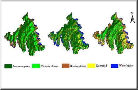
- Land Cover Classification
- Coastal Ecosystem Management
- Forestry Mapping
- Agriculture Mapping
Related Images
Vector Data Capturing
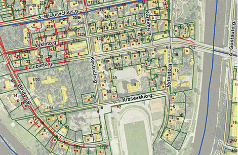
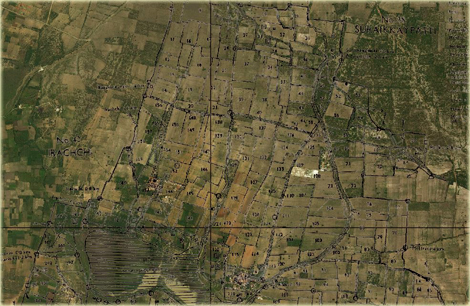
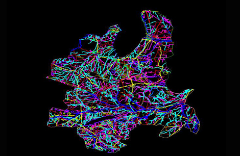
Cadastral Mapping
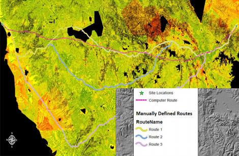
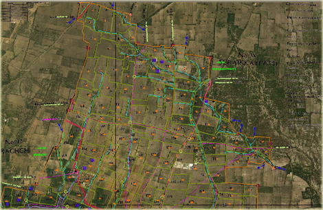
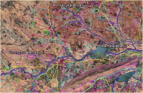
GIS Route Map
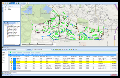
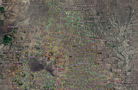
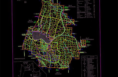
Asset Mapping
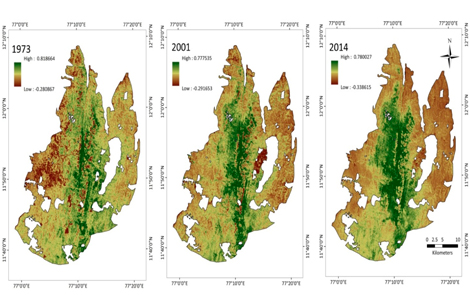
Change Detection
Georeferencing Raster
Georeferencing Vector
Forest Cover Monitoring
GIS Google Earth
Land Use Google Earth
Land Use
Raster To Vector Data