About Us
Kothari Geospatial provides professional geospatial services in strict adherence to the highest ethical and technical standards. We understand that each of our client’s needs are unique, however, they all require timely, technically sound and cost-effective solutions. Our standard business practice is to work with each client to clearly define project scope and requirements and develop a solution that is right on target.
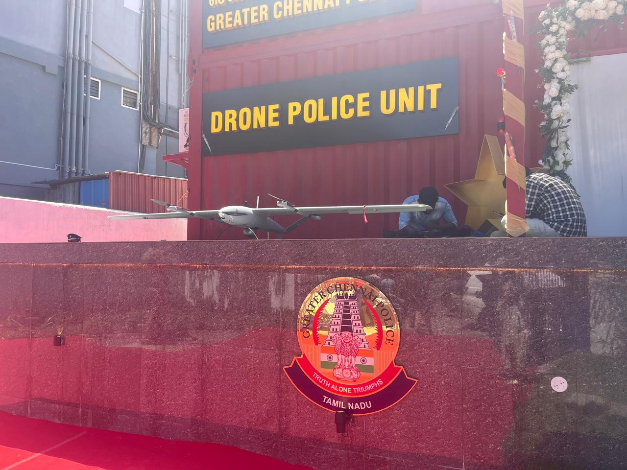
Drones & Geospatial Division
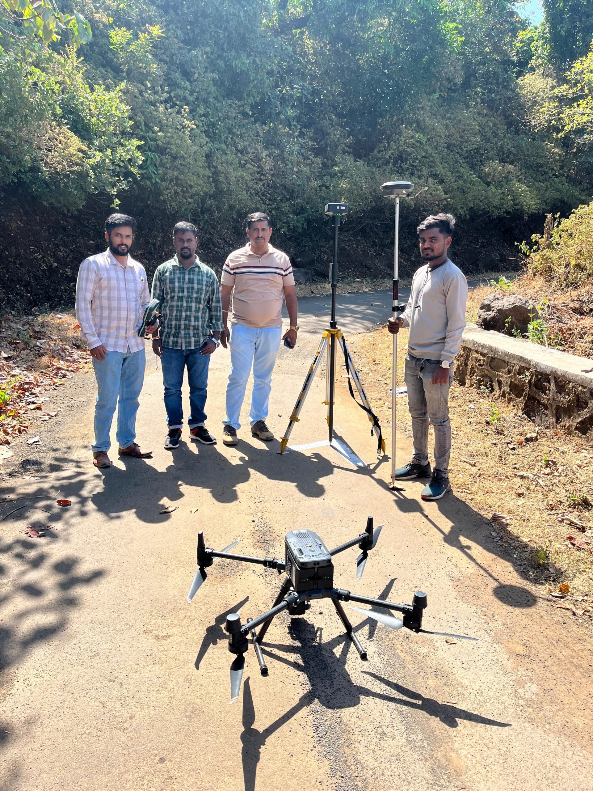
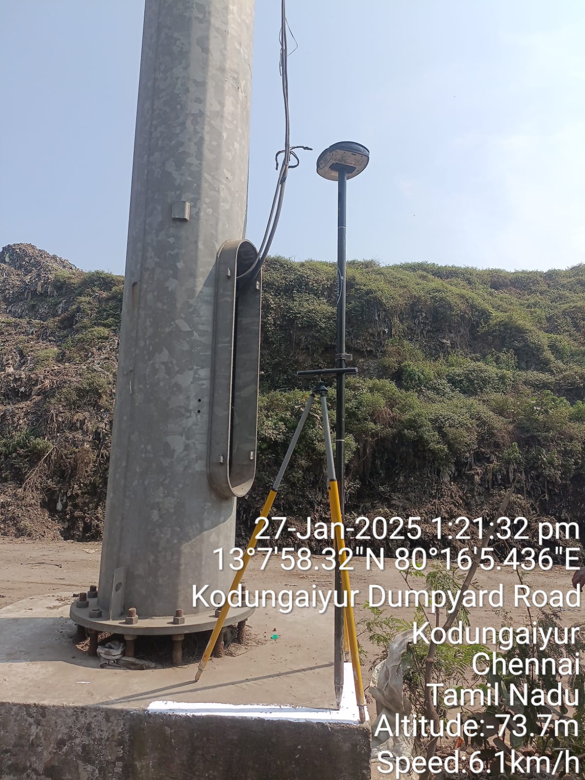
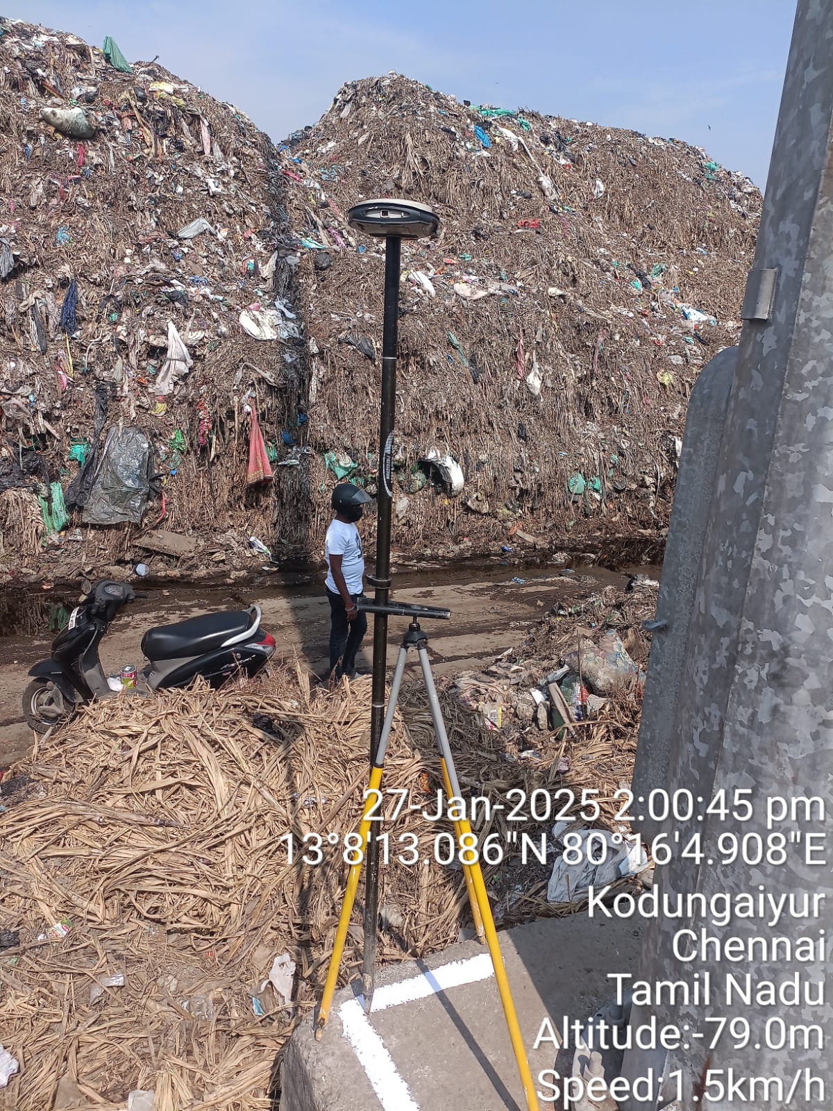
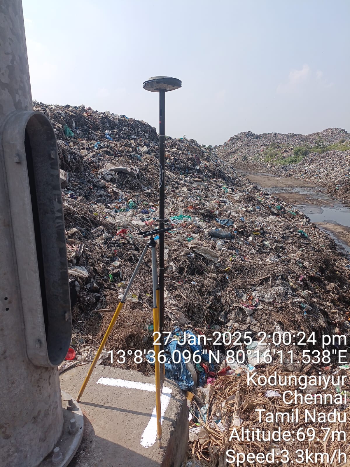
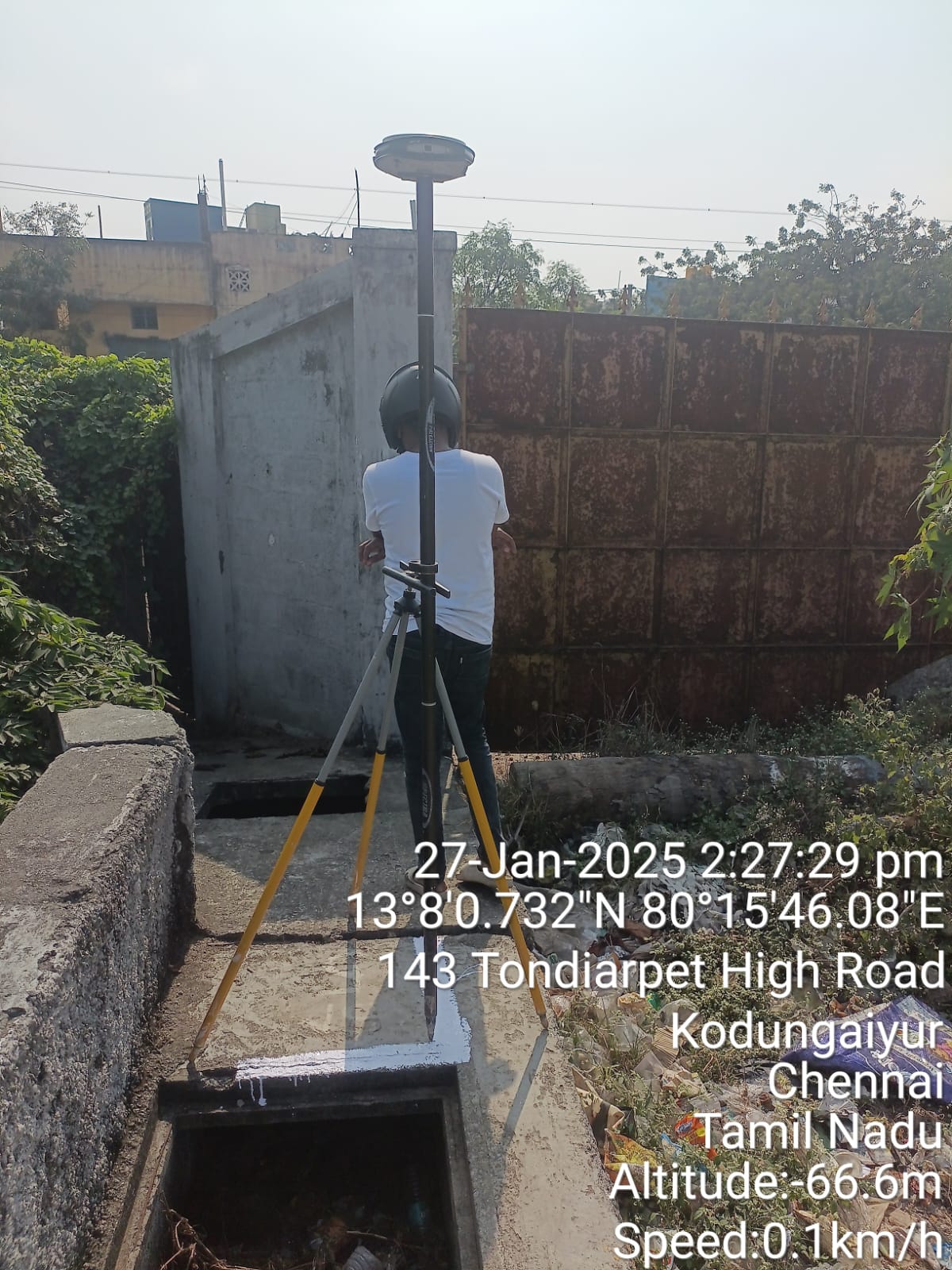
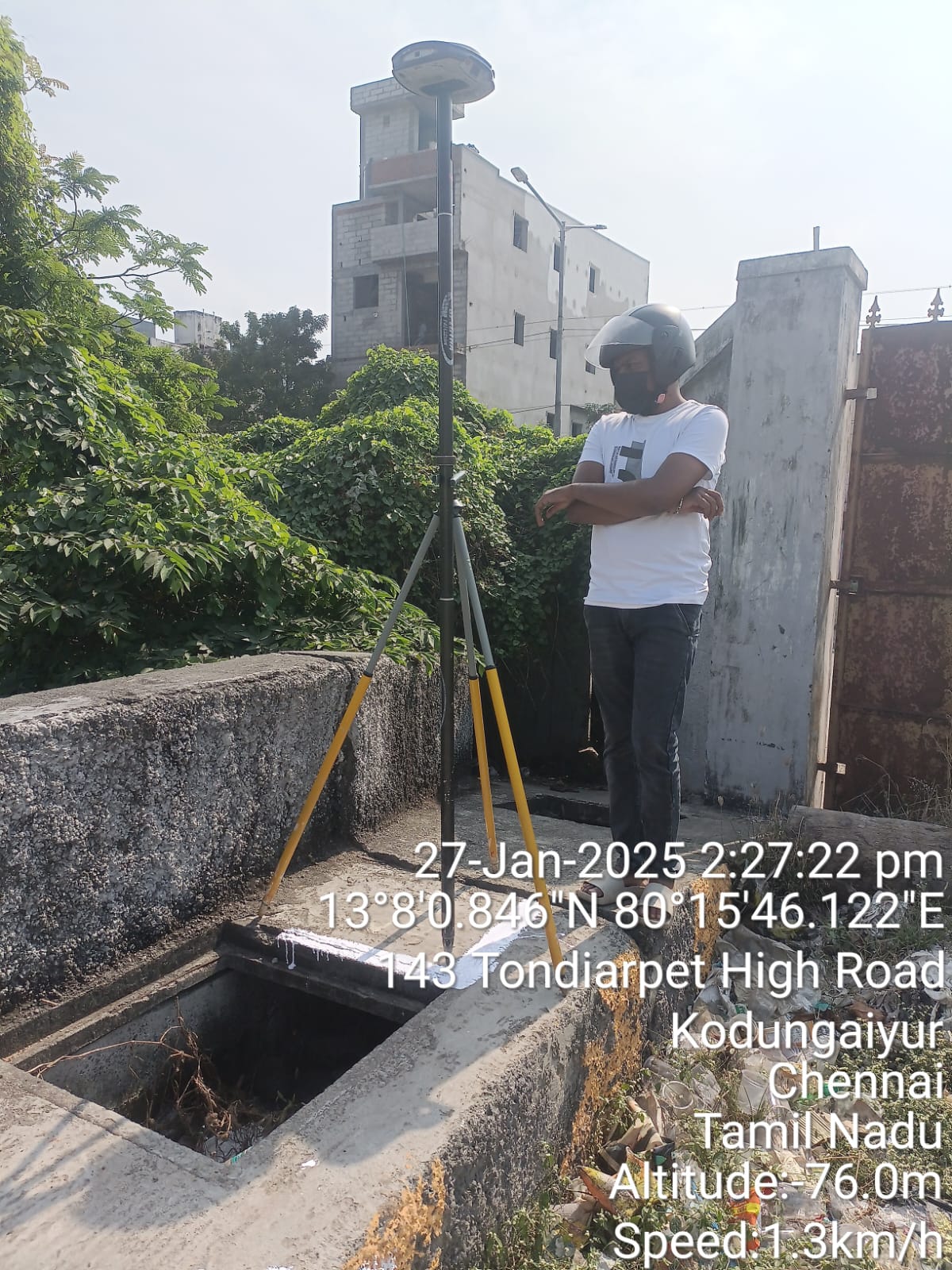
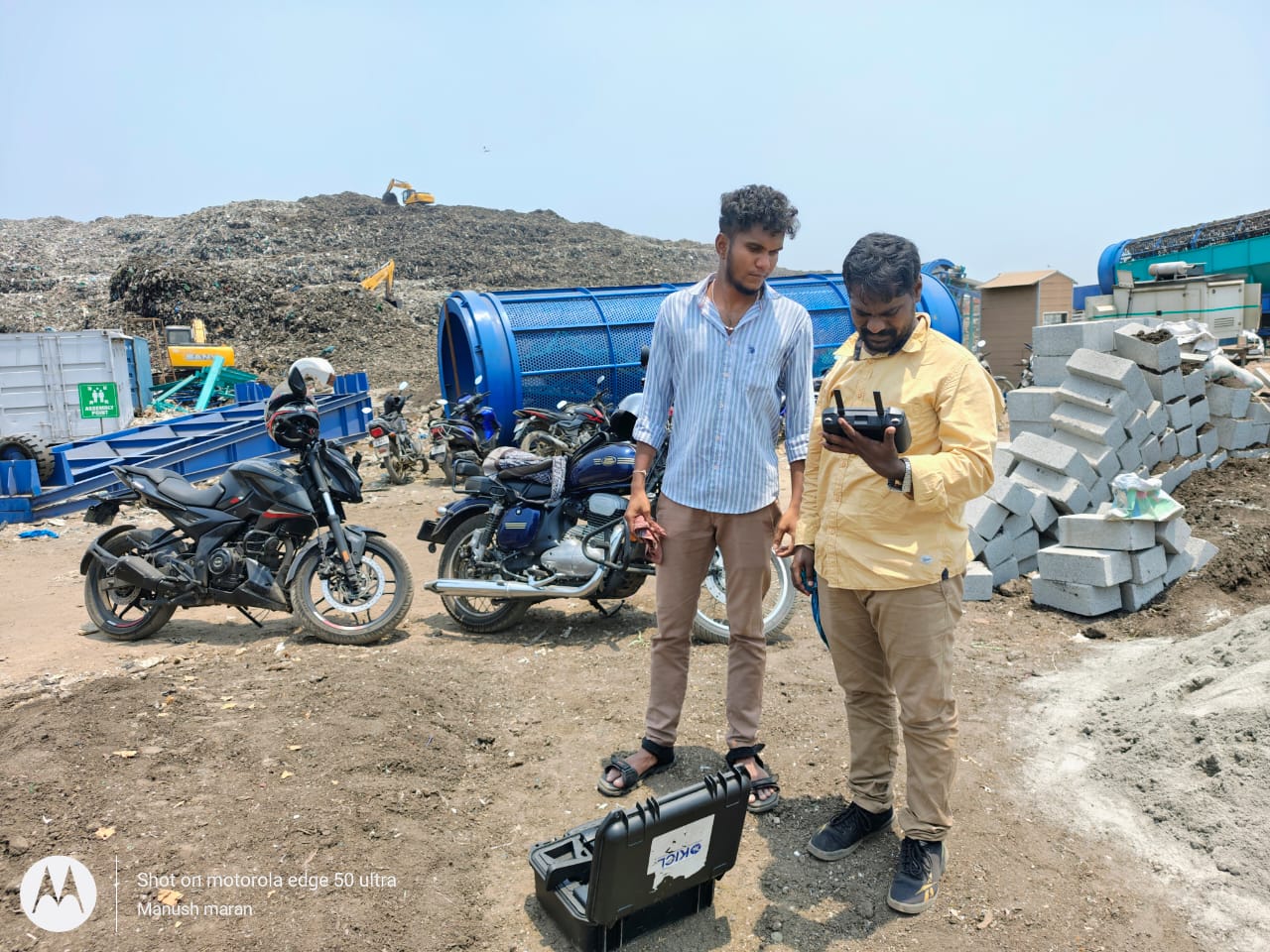
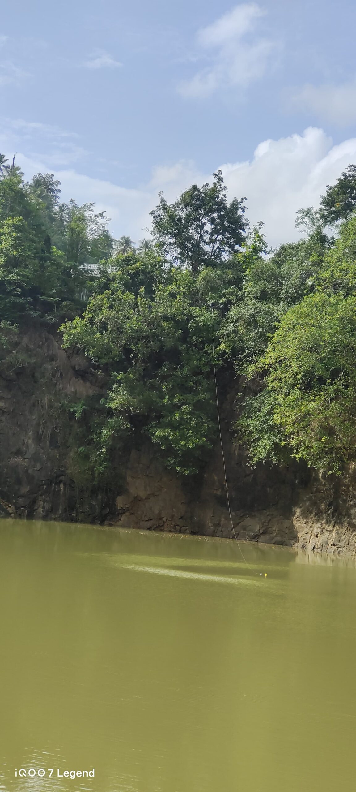
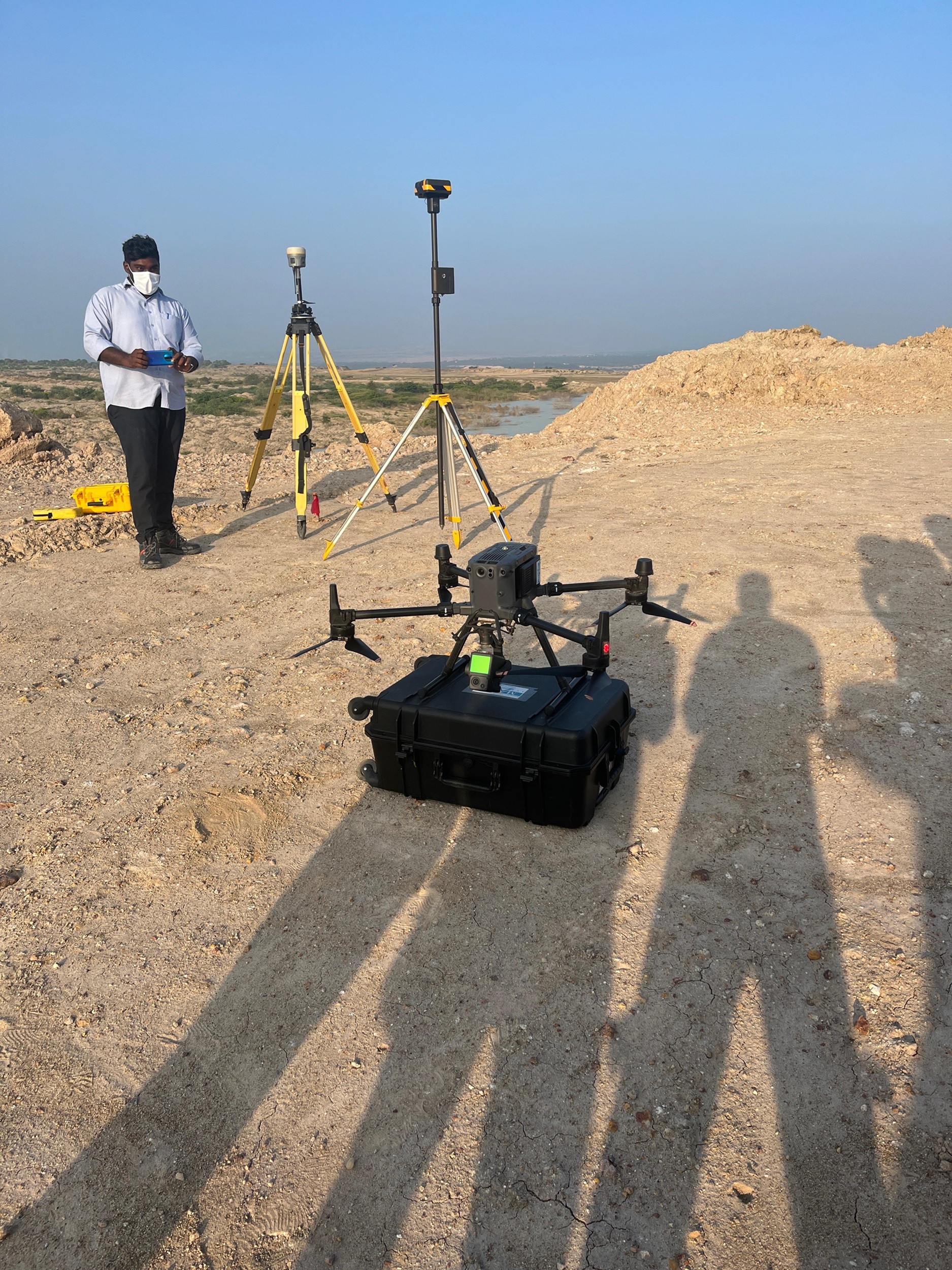
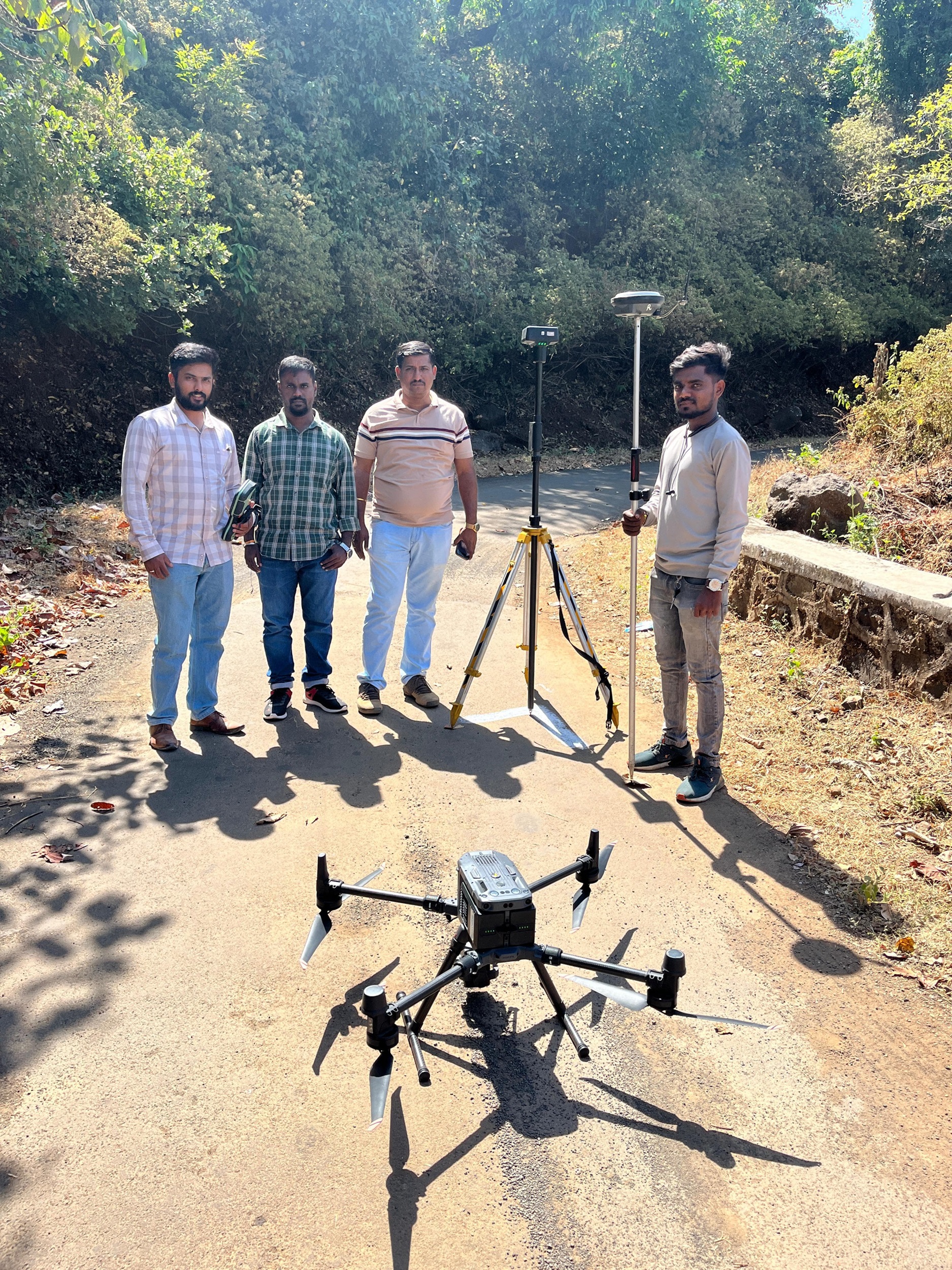
Kothari Industrial Corporation’s Drones & Geospatial Division offers advanced geospatial solutions including LiDAR surveys, DGPS surveys, and end-to-end mapping services. Operating with a commitment to the highest ethical and technical standards, Kothari Geospatial delivers precise, reliable, and professional services across various sectors.
RPTO & Drone Training
As a DGCA-approved Remote Pilot Training Organization (RPTO), Kothari has partnered with premier institutions and organizations through strategic MoUs. We are dedicated to providing cutting-edge drone training, fostering research, and creating career pathways in UAV technology.
Our Statistics
Our Services


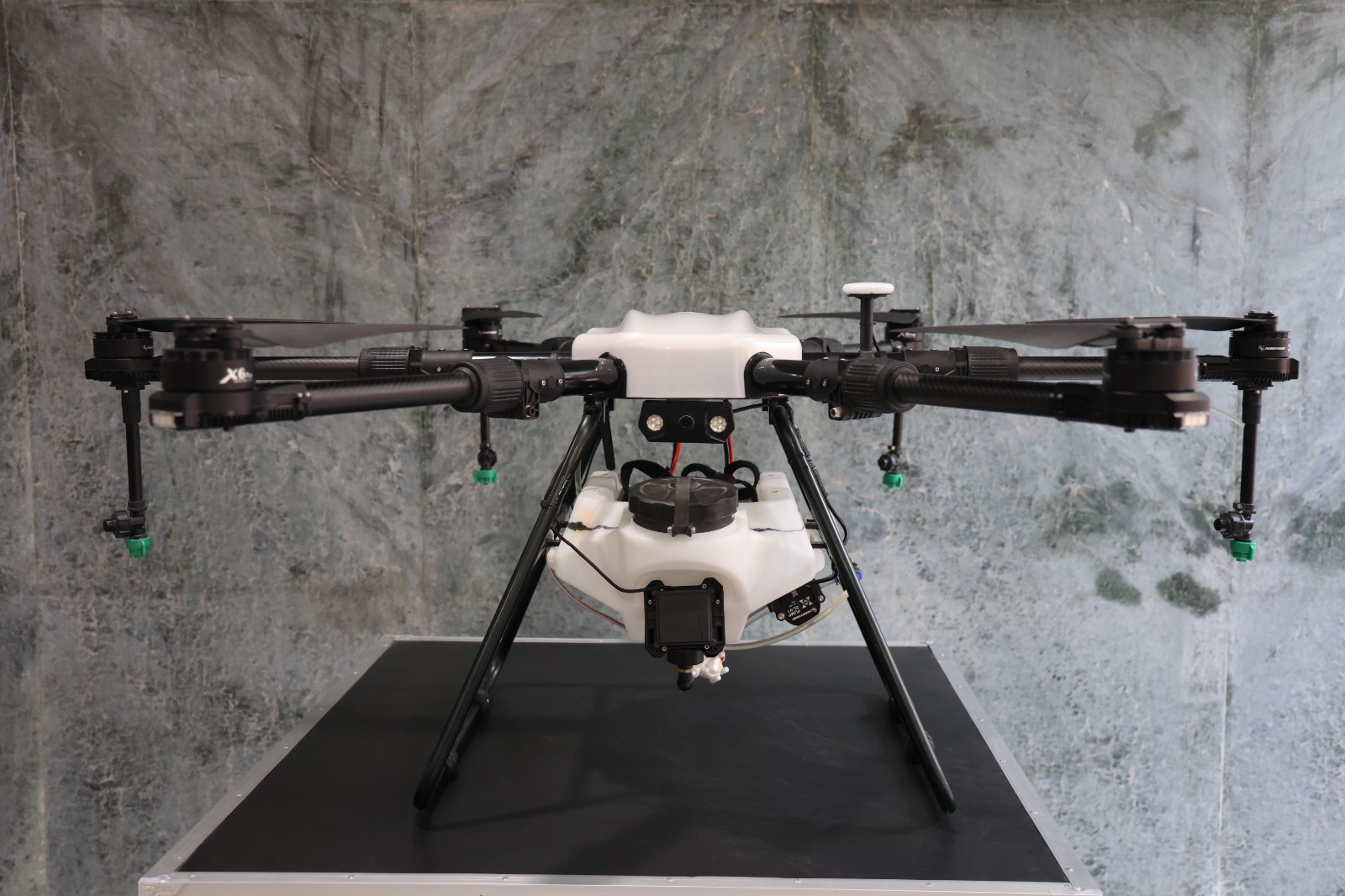
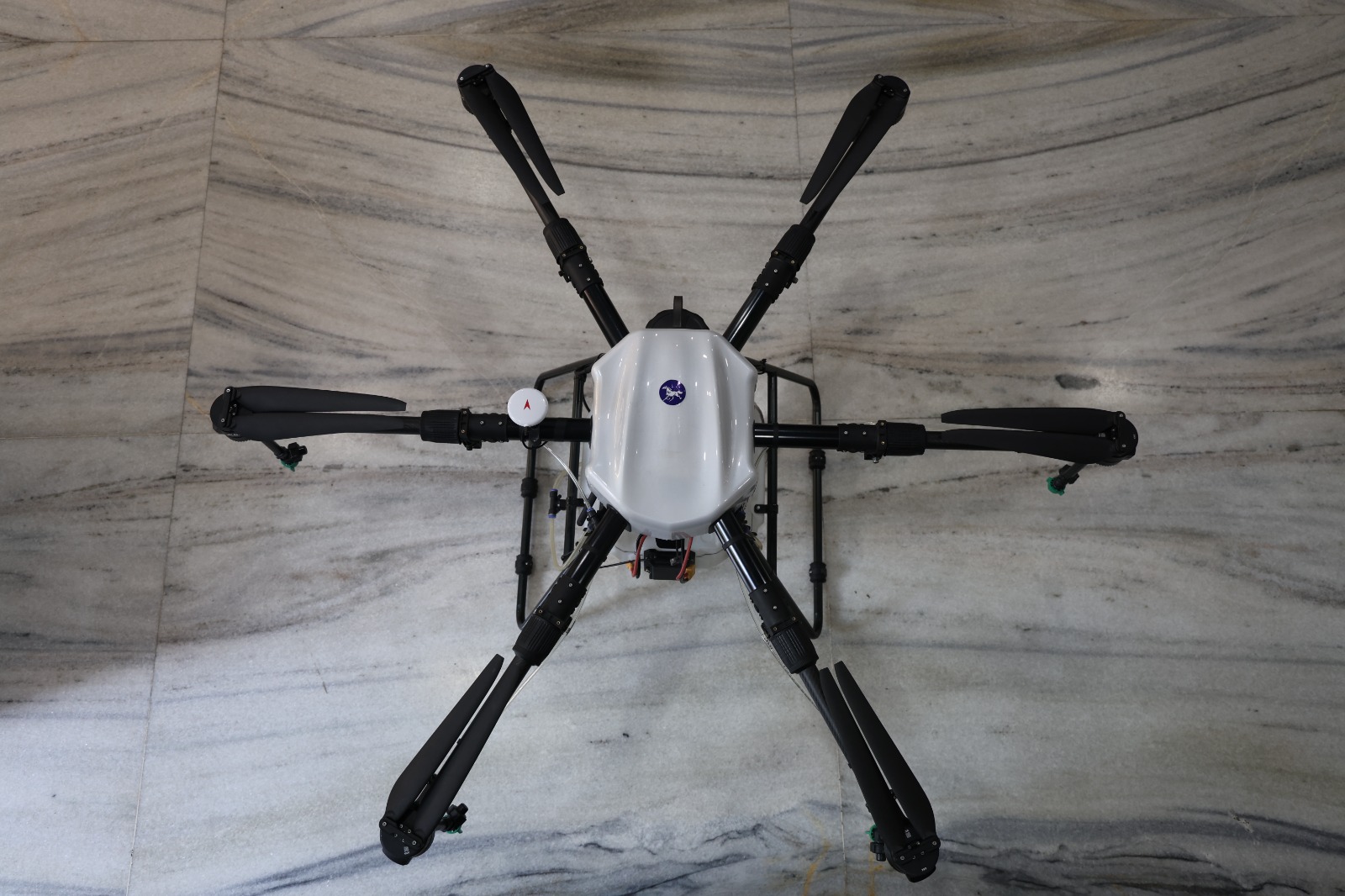
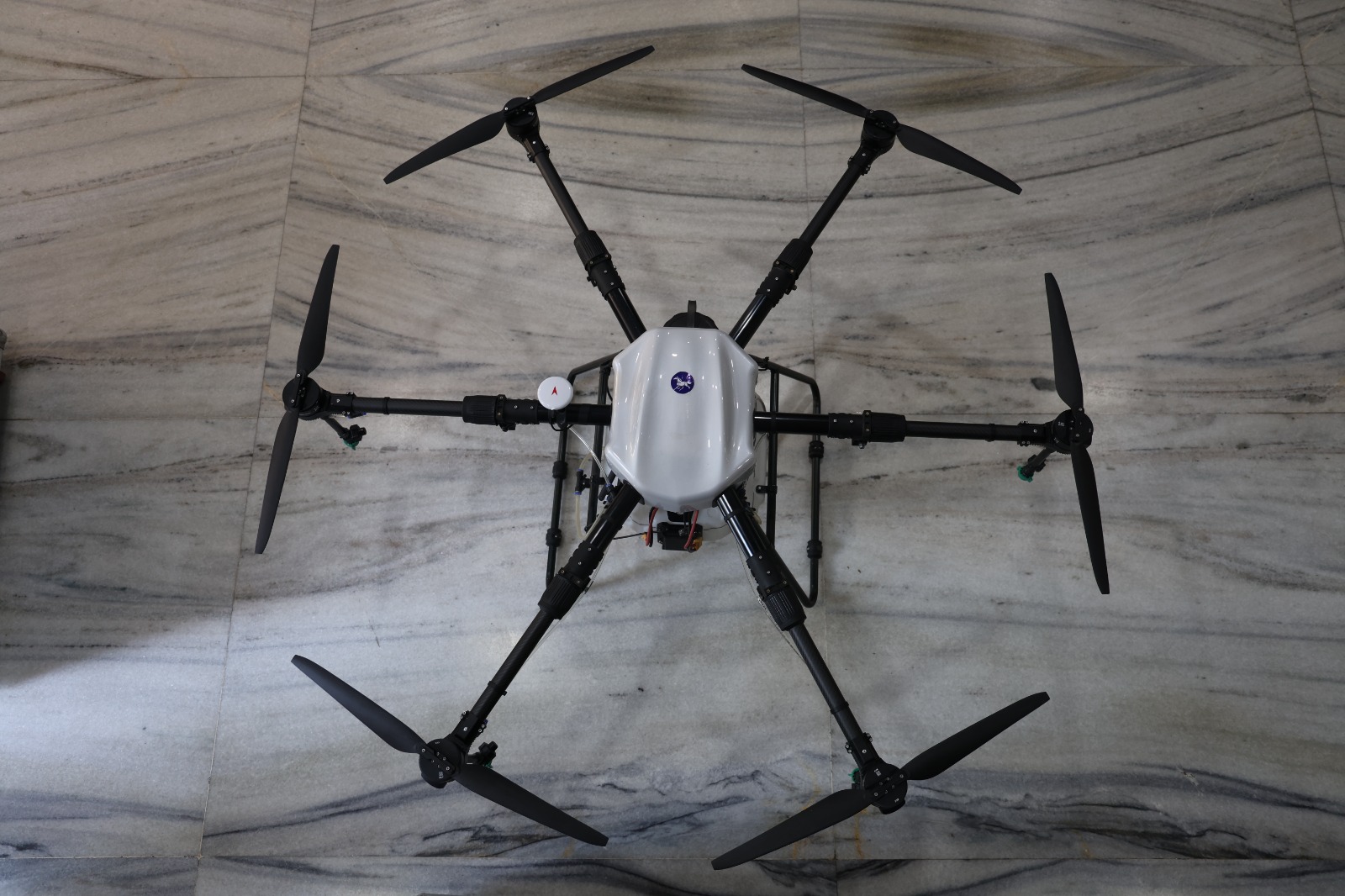
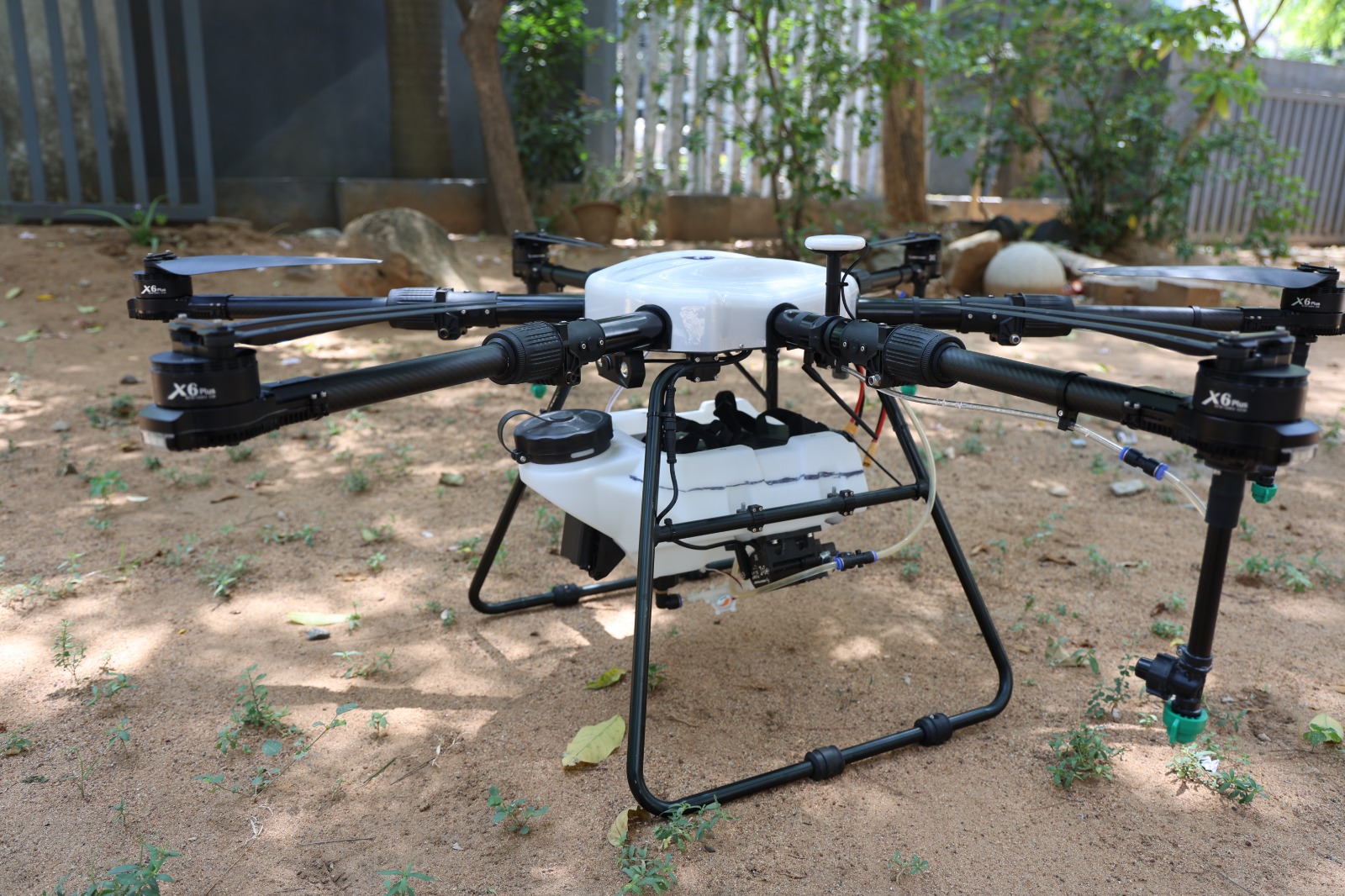
Agriculture

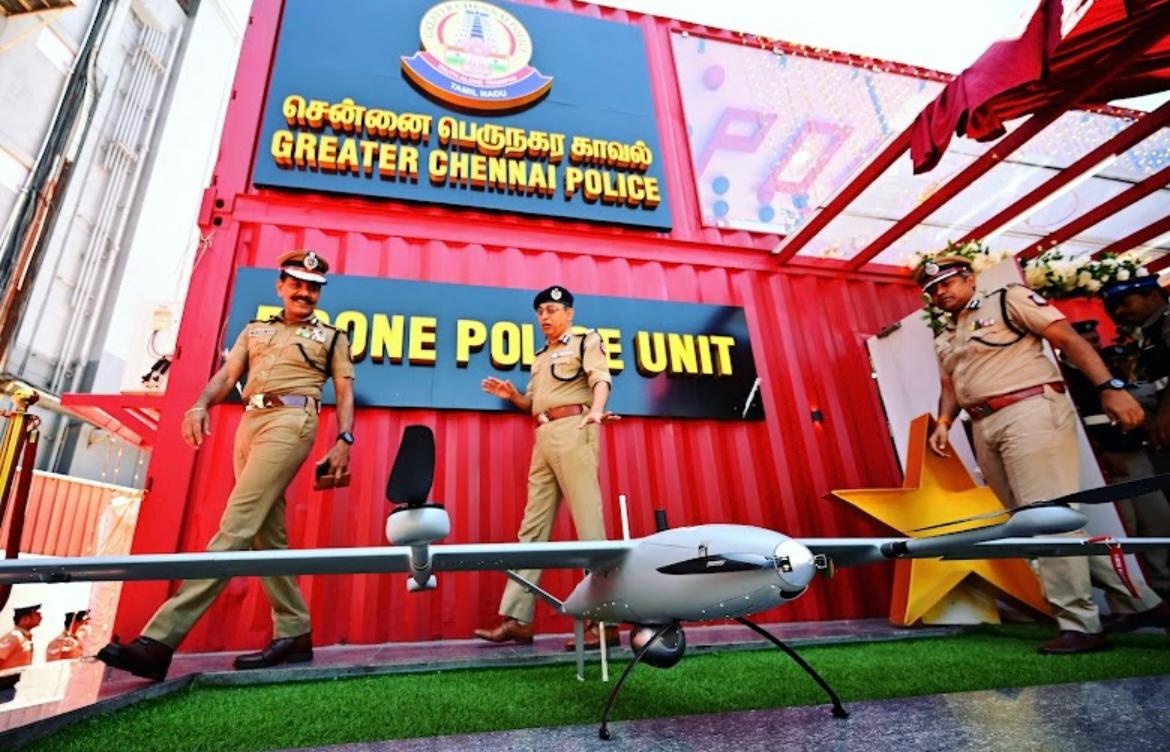
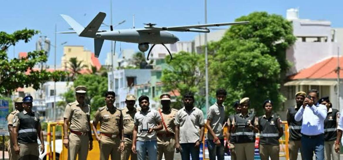
Our Clients