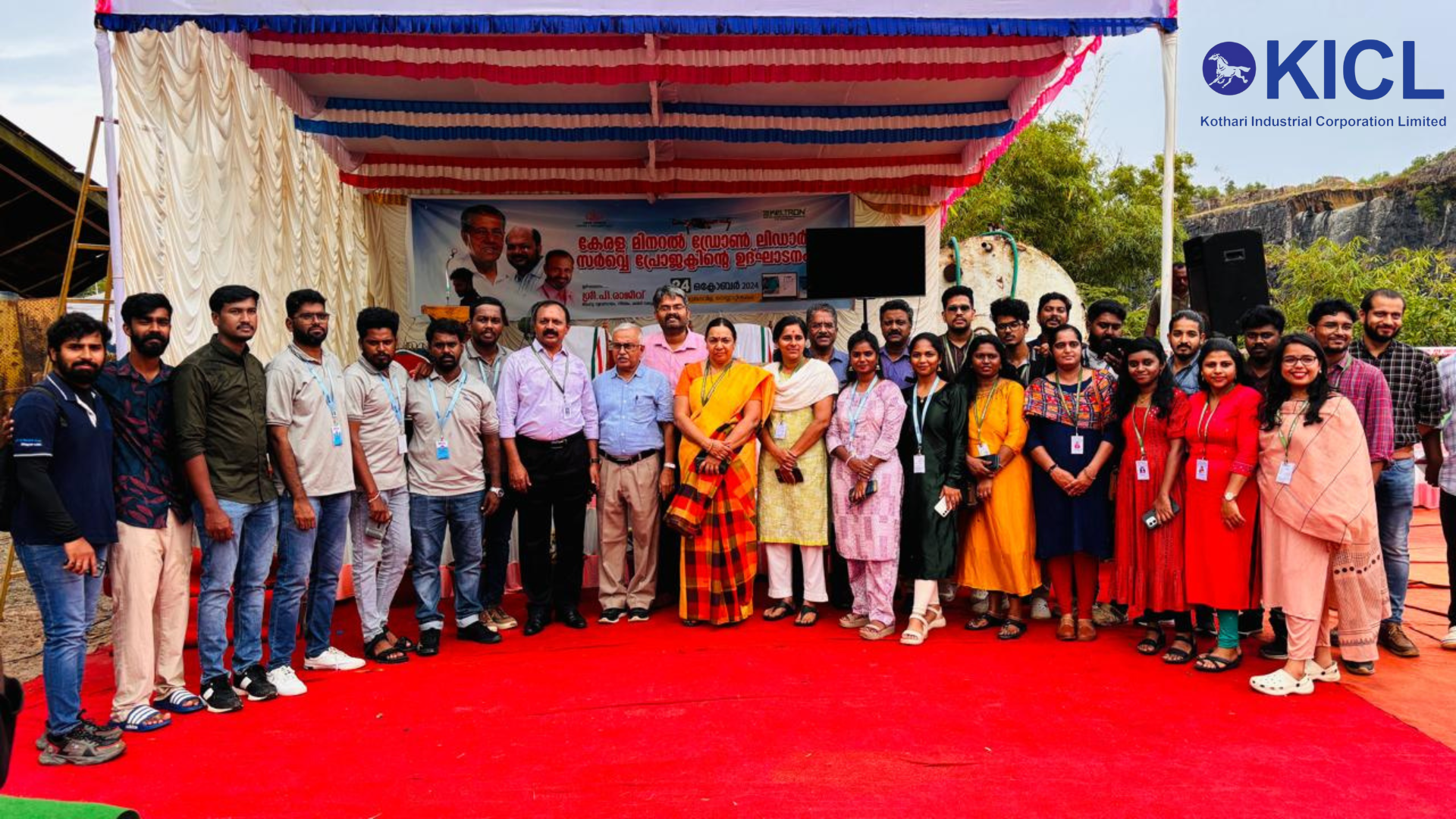

KICL Drones and Geospatial was privileged to be invited to the inauguration of the Kerala Mineral Drone LiDAR Survey Project Named Keltron and Drone LiDAR Survey Portal, hosted by Kerala’s Department of Mining and Geology. Held at the Perumkadavila Delta Quarry in Thiruvananthapuram, this landmark event marks a significant shift towards technology-driven regulatory measures in the mining sector. The ceremony, inaugurated by Kerala’s Minister of Industries, Law, and Coir, P. Rajeeve, showcased the state’s commitment to leveraging modern technology to enhance transparency, improve resource management, and deter unauthorized mining activities.
Our presence at this event underscores KICL’s dedication to advancing drone and geospatial technologies in India, aligned with Kerala’s pioneering approach to integrating these tools within its mining sector. The newly launched Drone LiDAR Survey Project introduces a precision-based approach to mining regulation, ensuring that mineral extraction is conducted responsibly and in compliance with state regulations. The portal, developed with support from Keltron, is India’s first of its kind and will track mineral volumes for legal mining operations, offering data that empowers stakeholders to make informed decisions while safeguarding natural resources.
As KICL Drones and Geospatial, we understand the importance of such innovations in building a sustainable future. The event emphasized the potential of drone technology to solve real-world challenges, with Kerala setting a powerful example for other states. By implementing these measures, Kerala is not only securing its mineral wealth but also fostering a transparent, accountable system that benefits communities and protects the environment.
KICL Drones and Geospatial is proud to witness this groundbreaking step firsthand. Our team looks forward to supporting similar initiatives that drive responsible resource management through the power of technology.


